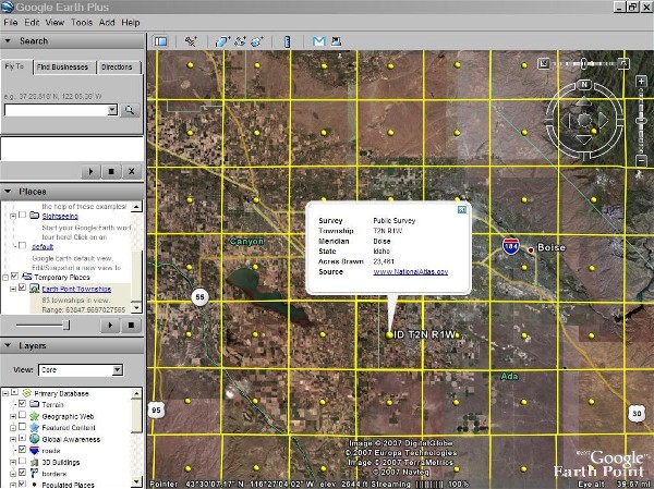
Township and Range - Public Land Survey System on Google Earth.
A user account is recommended for the features on this web page. 

 |
| Click for larger image. |
| http://www.earthpoint.us/townships.aspx This page maps the United States Public Land Survey System onto Google Earth. For more information about the land survey, Wikipedia has a good article. You can read about locating parcels at Earth Point Blog. There are two data sets to choose from, "BLM" and "National Atlas". |
BLM Township, Range, and Section
Displays townships, sections, and quarter-quarter sections if you zoom in close enough (most, but not all areas have quarter-quarter sections mapped). Calculates area, centroid, and corner points. You must zoom into the central or western United States to see the data.Help: How to install township and range.
>> This is a great example of a small page with great utility. MM <<
No comments:
Post a Comment