TOPO Afghanistan
 TOPO Afghanistan
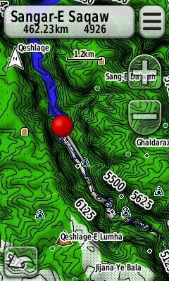
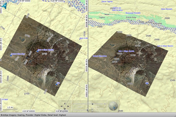
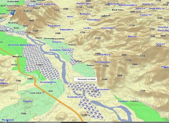
![]() is being announced today by North Hollywood Cartography, an authorized Garmin MPC developer. This is actually the third-generation of the product; the first was released throughGPS File Depot. The next iteration included the entire country. The newest version adds a digital elevation model for 3D viewing in BaseCamp and compatible Garmin receivers. Geographic points of interest including wadi (arroyos/dry creek beds), summits, kariz and settlements.
is being announced today by North Hollywood Cartography, an authorized Garmin MPC developer. This is actually the third-generation of the product; the first was released throughGPS File Depot. The next iteration included the entire country. The newest version adds a digital elevation model for 3D viewing in BaseCamp and compatible Garmin receivers. Geographic points of interest including wadi (arroyos/dry creek beds), summits, kariz and settlements.
Sales will be through government distributors and to individuals affiliated with the ISAF or other government users.
While there are military issue GPS receivers being used in Afghanistan, I’ve been impressed by the number of comments and questions I’ve heard over the years from troops using their own standard, commercially available handheld units in the field.
Like most specialized mapping software, Topo Afghanistan doesn’t come cheap. List price is $399.96 (USD) for the DVD or pre-programmed microSD card (with SD adapter), though I understand that there will be a 25% off introductory discount that brings it down to $299.97![]() . A $199.98 upgrade is available for registered GEN1 and GEN2 users.
. A $199.98 upgrade is available for registered GEN1 and GEN2 users.
More screenshots…
Provided Images © 2010 North Hollywood Cartography


No comments:
Post a Comment